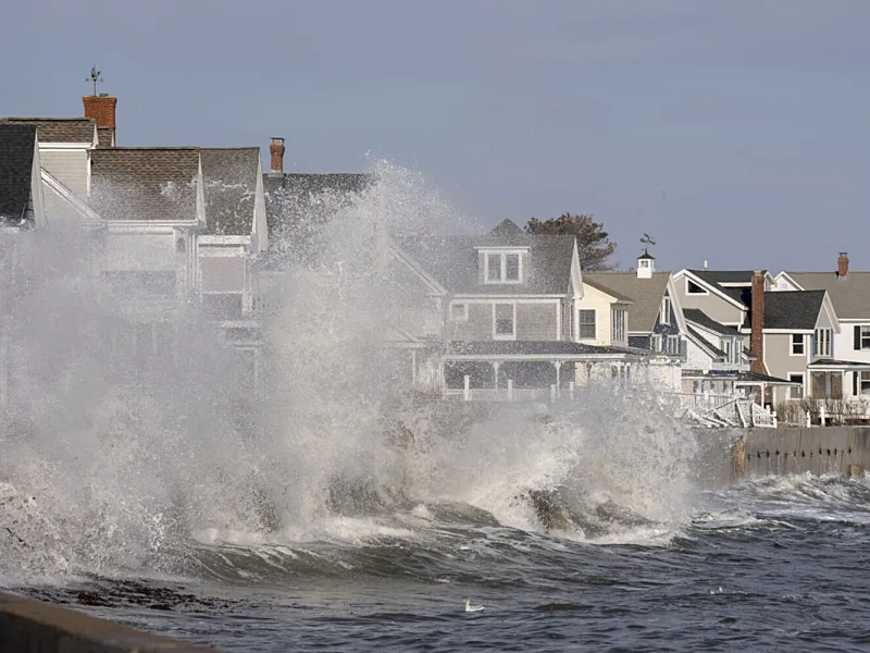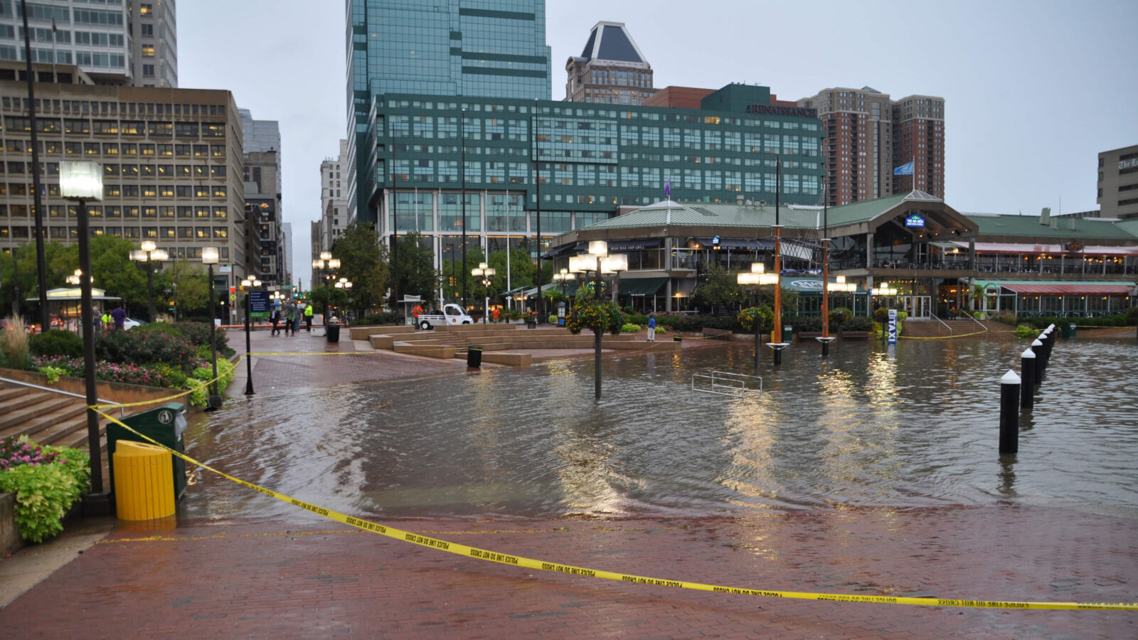
Baltimore residents helped researchers test ways to reduce flooding when heavy rain overwhelms city drains.
The model found that cleaning stormwater inlets was more effective than greening selected vacant lots.
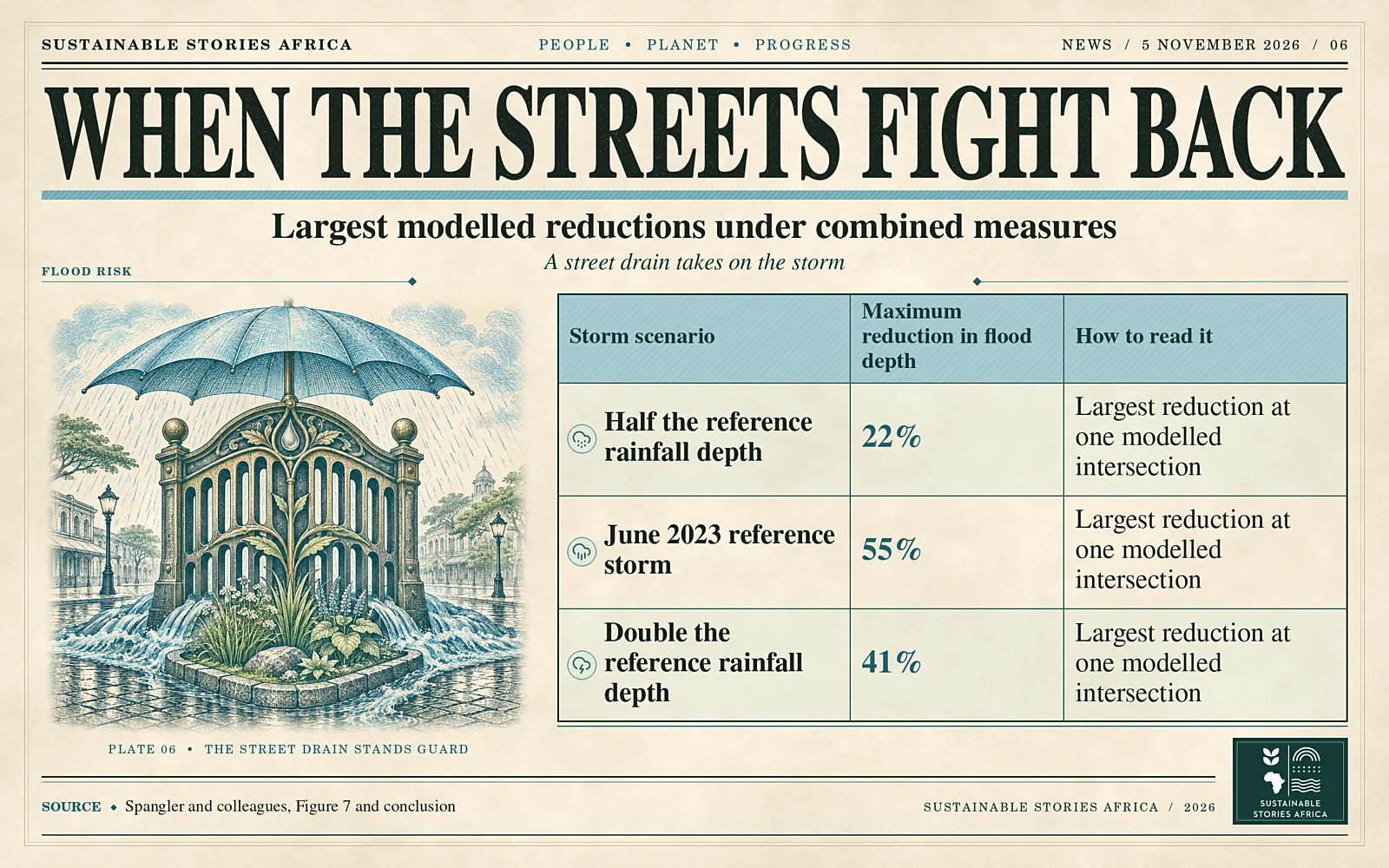
Combining both cut modelled flood depth by up to 55% at a single location in the reference storm.
The result highlights the value of maintenance and resident input when cities choose which flood risks to address first.
Residents helped choose what the model tested
Cleaning stormwater inlets was the most effective individual intervention tested in a Baltimore flood modelling study led by Ava Spangler and published online in Sustainable Cities and Society on 3 August.
- The researchers worked with residents and public works staff to identify flooding priorities in the Baltimore Harbor Watershed.
- They compared more effective inlet maintenance, greening of selected vacant lots and a combination of the two.
The strongest result was local.
- During a simulation of the reference storm, the combined intervention reduced flood depth by up to 55% at a single modelled location.
- Changes varied across intersections and storms.
The findings describe what happened in the model, which incorporated community observations and infrastructure data.
The model linked street observations to drainage data
Stormwater flooding occurs when rainfall accumulates on the surface faster than the drainage system and surrounding land can absorb or carry it away.
- In Baltimore, residents helped identify locations where water repeatedly disrupted movement. Public works specialists contributed knowledge about drainage infrastructure and how it behaves.
- The team used the US Environmental Protection Agency’s Storm Water Management Model to bring that information into the simulations.
The researchers used the June 2023 reference storm and two variants with half and double its rainfall depth.
- Cleaning inlets helped many locations, but in flat, low-lying areas water could back up from the drainage network.
- The benefits of greening were also uneven because the selected lots were concentrated in particular parts of the watershed.
An improvement near a rain garden could coexist with little change farther away.
The reference event on 27 June 2023 delivered 6.7 centimetres of rain over 20 hours.
- The researchers also drew on reports from events in 2023 and 2024 when calibrating the model.
- These observations provided a way to check how the simulation represented water on the street.
They also illustrate why modelling decisions benefit from evidence collected at the places where residents actually experience flooding.
Why the place people need to reach matters
- A transport department may judge a flood intervention by how many kilometres of road it keeps open.
- Residents may care more about whether a particular intersection blocks access to a clinic, school or bus stop.
Bringing these priorities into a model can change which options a city compares and what it counts as a benefit.
- It can also make it easier to explain why two streets near each other respond differently to the same work.
For African cities planning around intense rainfall, the transferable element is the process.
- Residents can map recurring trouble spots and help engineers identify where models need better information.
- Local teams can then test how cleaning, storage, infiltration or changes to drainage capacity might work under their own conditions.
The same intervention will have different effects depending on the network, soils, topography and rainfall.
The choice of metric matters as well.
- The study evaluated depth at intersections, a measure that spoke to stakeholder concerns about access.
- Other projects might need to track how long water remains or how often floodwater enters buildings.
The question residents most need answered can guide the choice of what to measure before any intervention is selected.
Pair maintenance records with what residents observe
Public works teams can use flood reports and inspection records together to decide where to test changes in maintenance.
- Recording the depth and duration of flooding before and after work would help them compare actual outcomes with model results.
- Locations where backflow occurs deserve particular attention because a clear inlet can still connect to a network already at capacity.
Greening also has value beyond the specific stormwater result tested in Baltimore.
- The location of a rain garden and the route water takes to reach it affect its ability to reduce flooding.
- When cities budget for greening, making those design assumptions explicit allows residents and engineers to judge how much the project contributes to flood protection and what other benefits it can deliver.
The limits of the model are also useful for deciding where to investigate further.
- If a street remains at risk under all three interventions, that result can help justify a closer look at network capacity or backflow.
- If a local improvement appears only in the smallest storm, monitoring can test where its useful range ends.
Path Forward – Test Drainage Options With Affected Residents
The Baltimore work shows how engineers and residents can use a shared model to compare interventions before committing money.
Its results vary by location and storm.
Local monitoring after maintenance or construction can show which improvements hold during real rainfall and where further work is needed.