Eastern Africa’s Turkana Rift is showing signs of advanced continental breakup, according to new research.
Scientists say the crust beneath parts of Kenya and Ethiopia has thinned sharply, revealing a critical stage in how continents split.
The process will unfold over millions of years, but the findings matter now for science, land-use planning, disaster awareness and Africa’s climate-resilience agenda.
Africa’s Ancient Ground Is Moving
Eastern Africa is slowly pulling apart. New research published in Nature Communications reveals that the Earth's crust beneath the Turkana Rift, spanning Kenya and Ethiopia, is significantly thinner than previously understood, indicating that the region has reached an advanced stage of continental rifting.
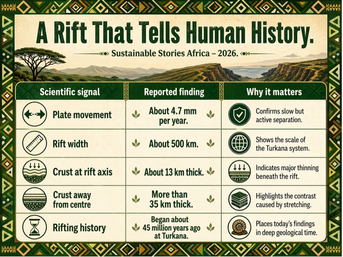
The African and Somali plates are separating at approximately 4.7 millimetres per year, a process unfolding over millions of years rather than decades.
However, the science is immediately relevant. It offers rare insight into how continents fracture and how geological risk intersects with a region already navigating climate stress, infrastructure deficits, and rapid population growth.
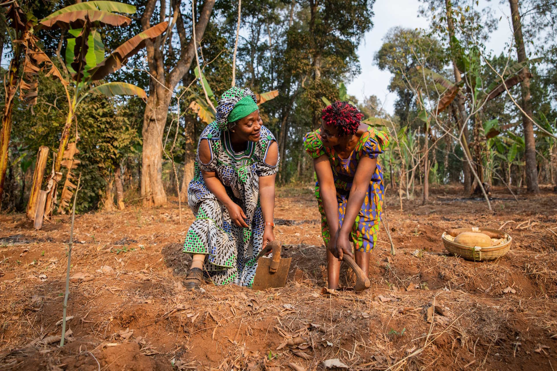
For Eastern Africa, the findings carry a dual weight; the same ancient ground that preserved evidence of early human life is still actively reshaping the continent beneath today's communities.
A Rift That Tells Human History
The East African Rift System has been reshaping the continent for approximately 30 million years, stretching from Ethiopia's Afar Depression toward Mozambique and producing iconic landscapes including Mount Kenya and Kilimanjaro.
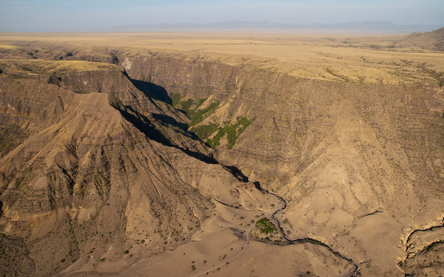
At its centre lies the Turkana Rift, an approximately 500-kilometre-wide zone that is also among the world's most significant fossil landscapes.
New research reveals that crustal thickness along the rift axis measures approximately 13 kilometres, compared with more than 35 kilometres away from the rift centre.
This dramatic thinning reflects a process scientists call "necking", where stretched crust weakens and becomes increasingly prone to separation.
Lead author Christian Rowan described the rifting as "more advanced" than previously recognised, while co-author Anne Bécel identified a "critical threshold" of crustal breakdown.
That threshold, however, operates on geological rather than human timescales.
The African and Somali plates separate at only a few millimetres annually, meaning any new ocean basin remains millions of years away, a distinction that responsible science reporting must consistently protect against doomsday misrepresentation.
Better Science Can Build Resilience
The discovery is not just a story about rocks. It is a story about knowledge, risk and planning.
For Kenya, Ethiopia, and the wider region, a better understanding of rifting can improve hazard awareness, infrastructure planning and public education.
Roads, pipelines, geothermal projects, settlements and water systems all depend on how governments read the land beneath them.
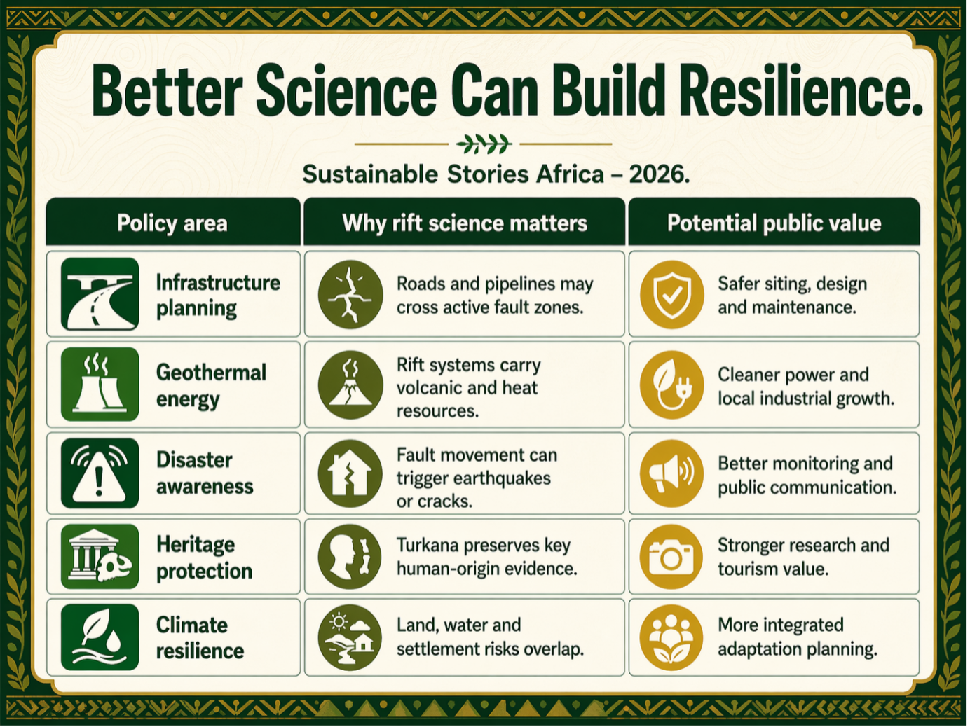
The Turkana findings also reshape how scientists think about human origins.
The region has produced more than 1,200 hominin fossils over the past four million years, about one-third of Africa’s known hominin fossil record, according to the research summary.
Scientists now suggest that tectonic subsidence may have created conditions that preserved fossils especially well, meaning Turkana’s record may reflect not only where early humans lived, but where geology helped preserve their traces.
That insight matters for Africa’s scientific leadership. It reminds policymakers that geology, climate, biodiversity and human history are connected systems, and that African research sites are global knowledge assets.
Treat Geology as Development Intelligence
Eastern Africa should not respond to this science with fear. It should respond with investment.
- Governments need stronger geological surveys, open risk maps, school-level earth-science education, and cross-border research collaboration.
- Urban planners and infrastructure agencies should integrate rift-zone science into land-use decisions.
- Development partners should support African universities, field stations and laboratories that turn geological knowledge into practical resilience tools.
- The public also deserves clearer communication.
The continent is not about to split overnight. However, the land is changing, and those changes intersect with people’s lives through earthquakes, water systems, tourism, energy and heritage.
Path Forward – Turn Earth Science Into Resilience
Eastern Africa’s rift is a slow geological process, not a sudden catastrophe.
However, its lessons are urgent: science must guide infrastructure, energy planning, public communication and heritage protection.
The priority is African-led monitoring and research. With better data, governments can turn tectonic knowledge into safer development, cleaner energy opportunities and stronger climate-resilience planning for communities living on a changing continent.
Culled From: In Eastern Africa, the cradle of humankind is tearing apart